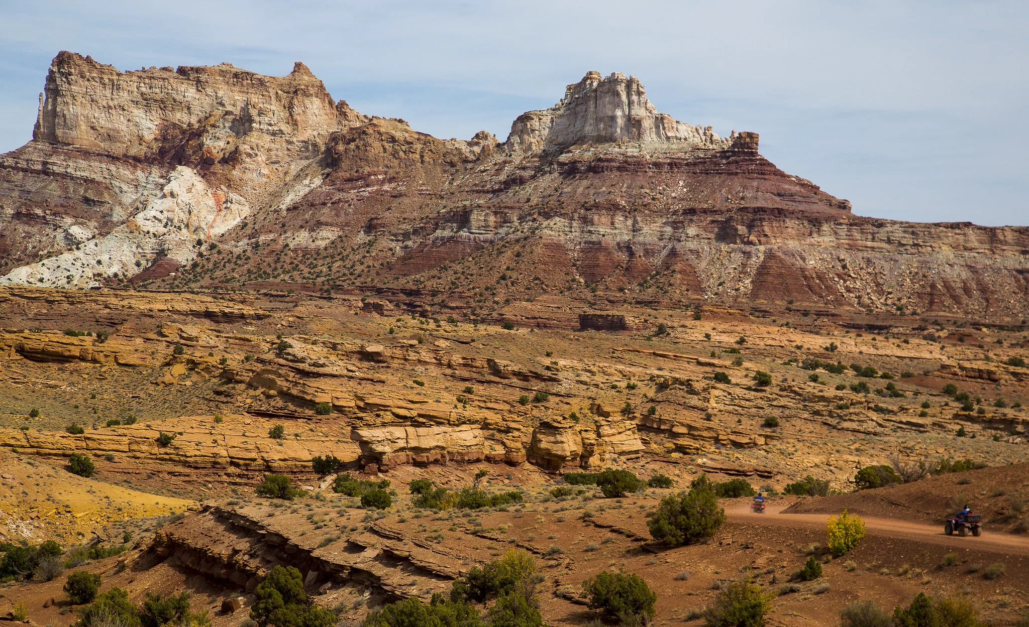
Following months of deliberation, the Bureau of Land Management has released its finalized travel management plan for the San Rafael Swell Recreation Area. The approximately 1.1 million acre area will now have more land available for OHV and recreational use with the implementation of the new management plan.
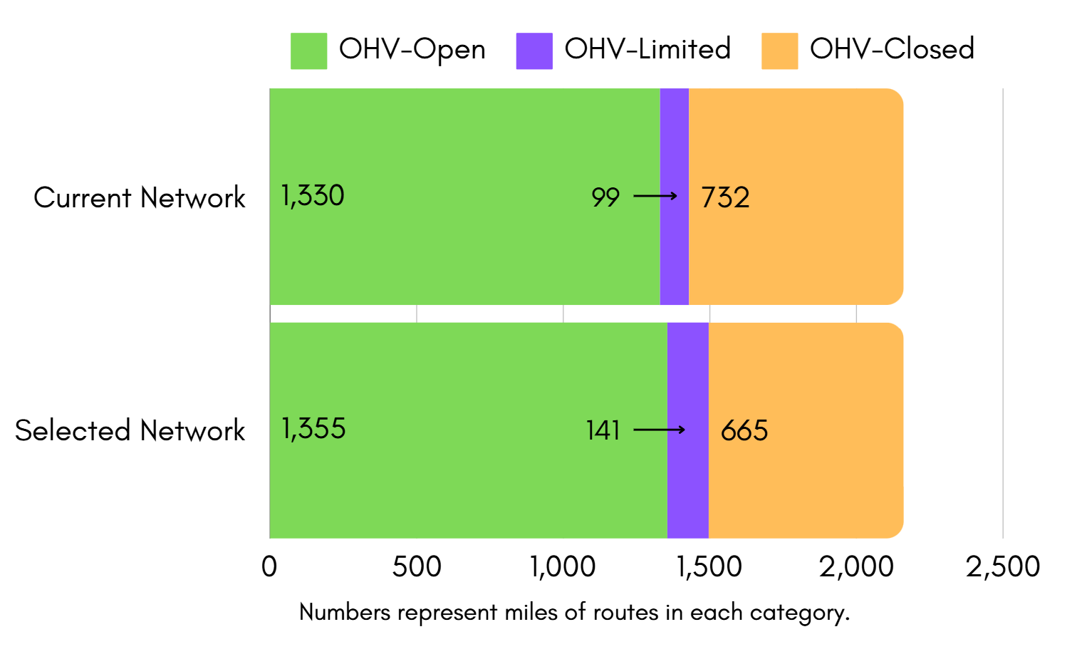
Over 6,000 comments were submitted regarding the plan, which led to the selection of the final management approach or “Proposed Alternative E’. According to a press release from the BLM,” Overall, 1,355 miles of designated routes are open to motorized travel, including OHVs, trucks, and SUVs, with 141 miles limited to certain types and sizes of vehicles. The approved plan opens an additional 67 miles of designated routes compared to current management, and roughly 240 miles of currently closed or undesignated routes are now designated for public motorized use.”
However, the new management plan does still have 665 miles that are closed to OHV use. These routes will still be open to nonmotorized travel and activities.
In a video released by the BLM, the organization explains the rationale for the closing of the lands,” In some cases, the BLM determined closure of routes was necessary to protect cultural, historical and natural resources, as well as to minimize conflicts between user groups. Negative impacts seen on the ground also contributed to these decisions, but in most cases, routes that were closed received little to no use or have been closed since the previous plan.”
To view an interactive map of the travel management plan, you can visit the BLM’s website here.