With a lack of winter storms across the state, avalanche danger has remained consistently low throughout the season. But a high-pressure buildup north of the United States could cause havoc and transform avalanche conditions in a heartbeat.
To see if this pressure could impact the Manti Skyline, Castle Country Radio was joined by Brett Kobernik from the Utah Avalanche Center to examine this week’s avalanche forecast.
“ It’s been kind of a feast or famine. We had a couple of big storms, one on Thanksgiving and one over the Christmas holidays. And then it’s just been really small amounts since then. And this does affect avalanche conditions. We’ve been dealing with a mostly low to moderate avalanche danger this week, which is good news,” explained Kobernik. “Looking into the weekend, it looks like we’ll continue to see a low to moderate avalanche danger up there. And I guess the message for folks is that there’s plenty of weak snow up there right now. There’s layers that I’m concerned about, but they’re just not doing anything right now. They’re not producing avalanches, but they certainly have the potential to down the road when we start seeing more snow.”
With the pressure buildup looking to bring winter mayhem to Utah, Kobernik speculated that the Skyline region might not be affected by the storm,” there’s been a ridge of high pressure north of the United States, and I find that the weather models kind of have a hard time handling this pattern. But the big picture right now is that there is a storm moving in and it’s going to feed moisture into Utah from a westerly direction. And it just looks like the fire hose might be just a little bit north of us. So it’s looking like the Salt Lake Mountains or maybe even just a little north of that is where the bull’s-eye could be. I’m thinking that we’re not going to see that much snow down here during this event, although all it takes is a slight shift and we’ll get into some of that snow as well.”
Turning his attention to safety, Kobernik advised that those exploring the mountainous regions of Utah be on the lookout for avalanche terrain. “ So slopes that are steeper than 30 degrees are capable of producing avalanches. So if you never want to get in an avalanche, if you never want to get caught, the most simple thing is to be able to recognize those steeper slopes and stay off them and stay out from underneath them. There are people out there that’ll be willing to take some risks. I’m one of them. I like to get up on the steep slopes from time to time. But the key is knowing what the avalanche danger is for a given day and when it’s appropriate to get out of that steeper terrain.”
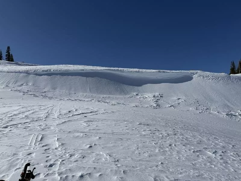
Today, it’s possible to trigger older hard slabs or newly formed shallow soft slabs of wind-drifted snow. Typical signs of wind-drifted snow, like textured surfaces, might be hidden under a few inches of recent snow. pic.twitter.com/r3TM9xDqQE
— Utah Avalanche Center (@utavy_) January 27, 2025
In closing, Kobernik shared,” I think the big picture message is that we’re dealing with a low to moderate avalanche danger right now. But the structure is not the best. There’s a lot of weak snow out there. It’s just not doing anything right now.”
To stay up to date with the avalanche danger in the Manti Skyline and beyond, visit utahavalanchecenter.org