By Aidan Mortensen | KOAL News
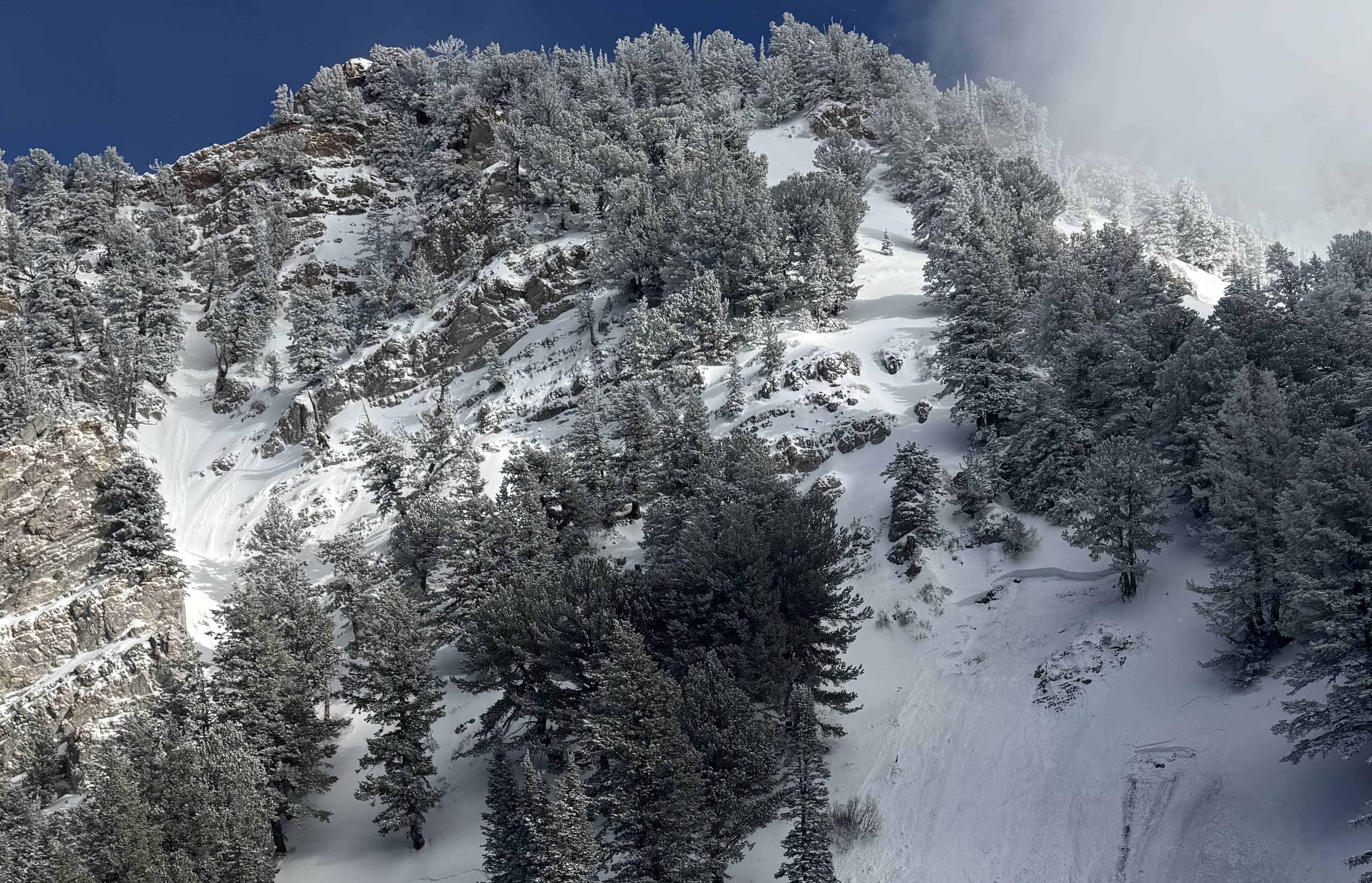
With the unusually warm winter season making snow a rarity, many outdoorsmen expect avalanche danger to be minimal. However, these conditions can cause unusual avalanche activity along the Manti Skyline. To discuss these conditions and this week’s avalanche forecast, Castle Country Radio was joined by Brett Kobernik from the Utah Avalanche Center.
First explaining how the warm weather can impact avalanche danger, Kobernik stated,” It has been unusually warm and it has affected avalanche conditions, especially in the lower and mid-elevations, where the snow got wet and sloppy.” He continued,” But the thing is that the terrain that these avalanches are happening in, it’s not the usual places where people are recreating. So it’s odd, very steep locations where folks are not going to be riding snowmobiles or skiing and snowboarding. Perhaps, you might get into some of the stuff if you’re snowshoeing around up there. But it’s in some odd locations. And so my best recommendation for folks is that if you find yourself in places where the snow is wet and saturated, and where you’re sinking through, that is the biggest clue to avoid any steep slopes.”
Moving on to what he’s seeing in the higher elevations, Kobernik analyzed what dangers may be present,” we’ve seen warm temperatures up there as well, but it hasn’t been affecting the snow quite as much. What’s been affecting things up there is the wind. The wind has been drifting snow. And what it does is it takes snow from one location and it deposits it in another. And where those deposits form, those drifts are often sensitive and they’re most sensitive when they’re forming. But they can be sensitive for days after, especially when we’re dealing with this sugary faceted snow. We call it a persistent weak layer because things can break into that sugary snow for long periods after it’s formed. So a lot of these drifts, most of them are going to be pretty stubborn as we move through the weekend. But there are some places that they could crack out deeper.”
Continuing on the persistent weak layer, Kobernik discussed how current weather trends may impact the snow,” We’ve been in a gradual cooling trend over the last couple of days. And things are going to freeze up. It’s going to really lock up. And a lot of these layers that I’m talking about, especially in the lower and mid elevations, are going to be a thing of the past, is my best guess.”
As for the overall avalanche danger, Kobernik stated,” My assumption is that we will be looking at a moderate avalanche danger through the weekend. We’re going to see a little shot of snow on Friday evening, and it looks like things will calm down through the weekend. So I’m not expecting a huge spike in the avalanche danger.”
Switching gears to avalanche safety, Kobernik reemphasized the importance of being properly equipped to explore the Skyline,” it’s important that if you’re carrying gear to make sure you turn the things on when you leave your house before you get on the snow. It’s going to be your only way of getting found if you’re buried. Now, the second thing that you can do that will help is arm yourself with some information. You can find information at UtahAvalancheCenter.org. You can search for the skyline and you’ll find a daily avalanche forecast. So that’ll give you the most up-to-date and current conditions.”
In closing, Kobernik shared,” I think the big picture is that we’ve been dealing with a moderate danger for most of the week and that danger will probably stay there through the weekend. Again, it’s not all that dangerous, but you’re going to need to pay attention. And then, as always, check that daily forecast if you are heading out to see if there’s any unexpected change in conditions and to get the most up-to-date information.”
To view the daily avalanche forecast, visit UtahAvalancheCenter.org.