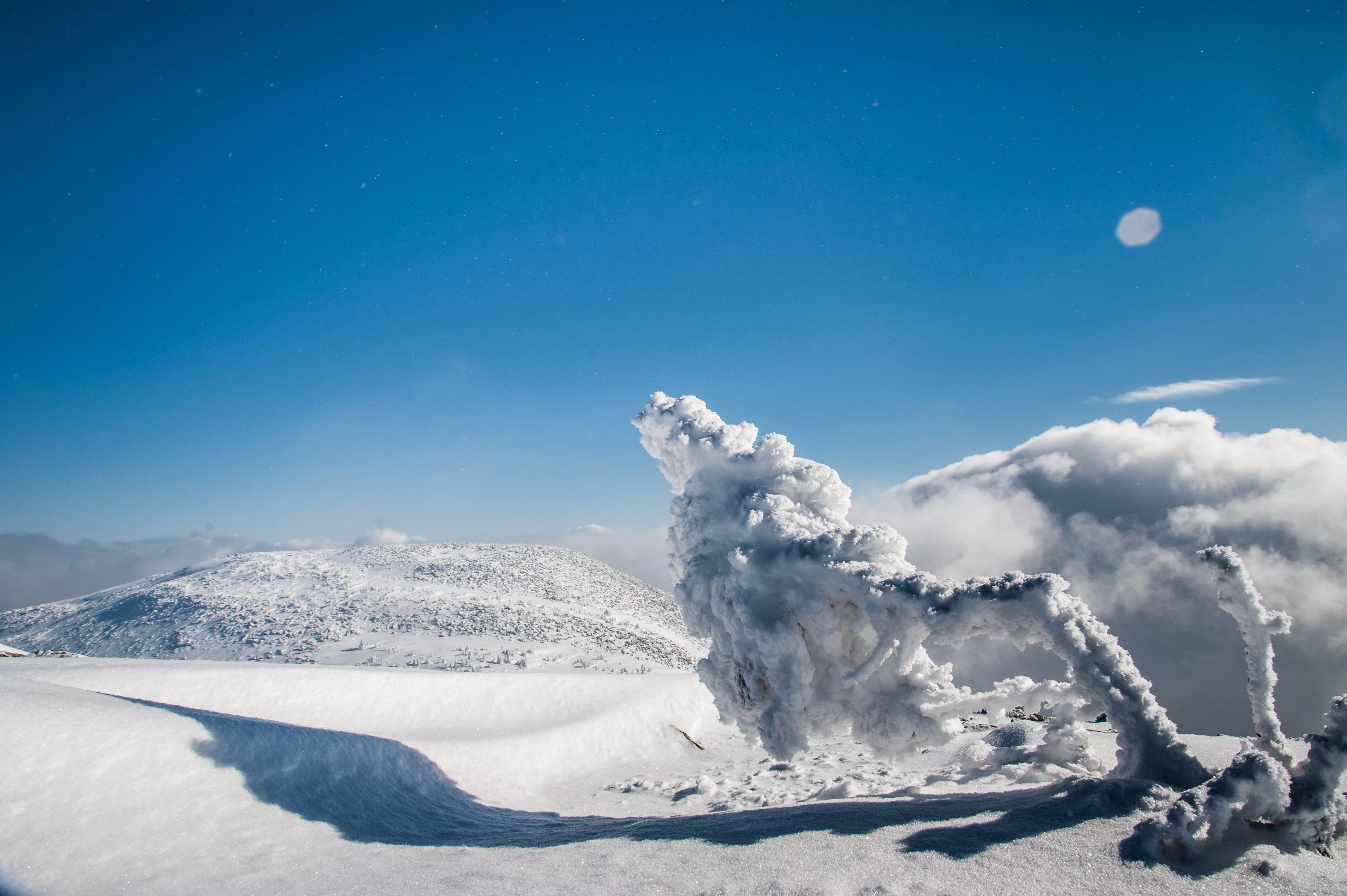
A late-season snowstorm has created chaos in the mountain ranges of central Utah. Heavy snowfall and strong winds are expected through Friday and the long Presidents Day weekend, rapidly raising avalanche danger from the low/moderate range it has sat at for the past several weeks to high danger levels.
Avalanche expert Brett Kobernik from the Utah Avalanche Center called into the KOAL newsroom to discuss these dangerous conditions and advise those wanting to explore the high country over the weekend on what to avoid.
“Things have been fairly quiet. Minor avalanche activity here and there. Lots of weak snow around, but it just hasn’t been doing anything,” explained Kobernik of the pre-storm conditions,” And this storm is going to load snow on top of those weak layers. It’s like balancing a cement block on top of potato chips. And it will overload those weak layers and make avalanches much more likely to be triggered by people.”
8-12 inches of snow is expected as a part of this storm, with potentially more to rain down as the weekend continues,” I think that that’s a reasonable amount to expect. It potentially could be more. It looks like a fairly decent amount of snow moving in to begin with from the southwest. And then things shift around a little bit more northwest, and the storm will continue into Saturday. And it looks windy during this storm as well. That wind drifts a lot of snow and can deposit it into huge drifts. So this is going to be a fairly significant event.”
With the weather conditions, the UAC does not recommend traveling in avalanche terrain during this time.
Feb 13, 2025 – We’e issued an Avalanche Watch for the mountains of northern and central Utah. The avalanche danger may reach CONSIDERABLE this afternoon and HIGH overnight into Friday. Expected heavy snowfall and strong winds will lead to very dangerous avalanche conditions. pic.twitter.com/5zNCIksf4o
— Utah Avalanche Center (@utavy_) February 13, 2025
“I’m just urging folks to use extreme caution out there during and after the storm because we can see avalanches happen even after the storm’s done. Because of all this loose, sugary snow, it’s just not going to go away yet.” Kobernik continued,” This loose, sugary snow when it forms, it’s the worst thing for backcountry recreationists. It makes no difference what kind of recreation you’re doing out there. Skis, snowboards, snowmobiles. When this stuff is present, all you can do is avoid steep slopes.”
For those still wanting to explore the Manti Skyline or other mountain ranges, the Avalanche Expert provided signs to indicate avalanche danger. “Once you get out there, the first thing you look for is how much new snow? Do we receive a lot of new snow? Has the wind been blowing? Can you see drifts coming off the tops of the peaks or ridges? When you see those drifts, that means snow is getting transported and it’s landing and building up slabs and drifts on the lee sides of those terrain features. When you’re traveling around out there, listen for whomping. This is when the snowpack actually collapses underneath you.”
As for when these conditions may lower back to safer recreational levels, Kobernik explained that it could be a complicated process. “It’s going to really depend on what weather we see. I could see the danger start to taper off, perhaps a little bit into midweek. It’s just going to depend on how much snow we get and how much wind and avalanche activity we see over the weekend. But we call these weak layers persistent weak layers. And that’s because they can persist for a long period of time. And we’re definitely not up to the point where these things are going to be healed.”
In closing, Kobernik shared,” I’m just urging people to use caution. This is probably going to be the most significant storm we’ve seen since Christmas. And plenty of weak snow out there. Again, it’s like a concrete block on top of potato chips. I think folks can understand how that doesn’t work very well. Just use caution out there. There’s plenty of low-angle terrain for folks to go out and recreate. And that’s what we need to do right now.”
To stay updated on avalanche conditions across Utah, visit utahavalanchecenter.org.
