By Aidan Mortensen | KOAL News
Late winter storms continue to bring much-needed snowpack to mountains across Utah, but they also bring an increase in avalanche danger. Brett Kobernik from the Utah Avalanche Center joined the KOAL Newsroom to provide this weekend’s avalanche forecast.
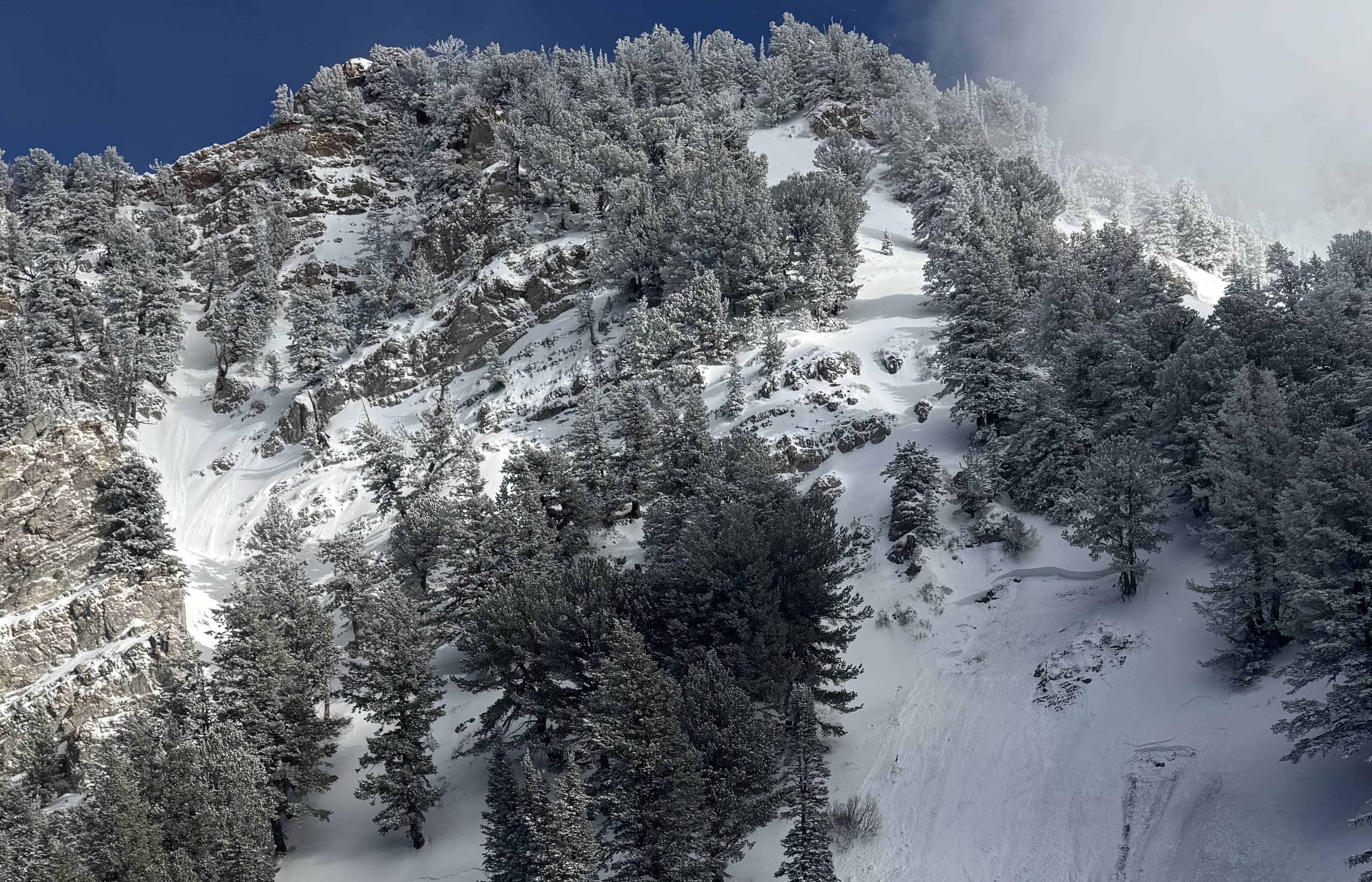
“We’ve picked up a good amount of snow already from this storm, and it’s kind of a prolonged storm. And we’re looking at about a foot of snow up in the high country. So this has been a decent shot for us,” said Kobernik.” We’ve been in a moderate avalanche danger. However, that danger is expected to rise during this storm as it moves through Friday. And that danger could linger into the weekend.”
This new snow has proved sensitive, with experts spotting several natural avalanches Thursday afternoon. “We want to see if that new snow is bonded well to the old snow surface or if there are any instabilities within the new snow. And this is usually fairly easy to figure out. Folks can go out there and test slopes only 20 feet high, something with no consequences, whereas if it does avalanche, you won’t get buried. But you can go on these steep little slopes and cut across with your skis, snowmobiles or snowshoes and see if you can get the new snow to crack. Oftentimes, this new snow reveals its hand pretty quickly.”
In addition to this new snow, the persistent weak layer lives up to its name by, you guessed it, being persistent. “We’ve seen a couple of avalanches breaking into those weak layers after each storm. Now, with this one, I’m not sure if we will see enough weight from this new snow to reactivate those deeper buried weak layers. But the thing is, there’s a chance that we could trigger these this weekend still up in the high country. And these are by far the most dangerous avalanches.”
The final concern shared by Kobernik is the danger posed by high winds creating unstable wind drifts. “It takes snow from one location and deposits it in another location. And when those drifts are forming, that’s usually when things are the most sensitive. It also adds weight, stressing those deeper buried weak layers.” Kobernik continued,” So wind is always a consideration. It looks like the winds are going to calm down and will not be too bad this weekend. But we’ll see what they’ve done when we get out into the field during this and after the storm.”
Kobernik always stresses the importance of being armed with knowledge before exploring the high country, and that process just got easier with the new Utah Avalanche Center app. “We just released this within the last couple of weeks. And it’s the new version of our app. And so there’s a couple of things that come with that. The first is that you can access the most recent forecast. It includes all the regions. The second feature that I really like about it is that it includes an inclinometer. So, this is a tool that you can use out in the backcountry to measure slope angles. I always talk about how important slope angles are. So this app has a feature that allows you to go out there and measure slope angles so that you know what kind of steepness you’re on.”
The UAC app is available on the Apple App Store and the Google Play Store.
Ending our discussion, Kobernik stated,” We’ve been in a moderate avalanche danger rating for most of the week. It’s probably going to bump up a bit for the weekend. So, just check that daily avalanche forecast before getting out into the hills. Then you’ll get the most up-to-date information.”
For an updated avalanche forecast, visit UtahAvalancheCenter.org.