By Brooke Larsen | The Salt Lake Tribune | Photo by Francisco Kjolseth | The Salt Lake Tribune
The outlook for Lake Powell keeps getting worse.
The latest water supply forecast for the nation’s second largest reservoir dropped by 600,000 acre-feet from last month’s projections. The Colorado Basin River Forecast Center now expects Powell will only receive 800,000 acre-feet of water — or roughly 13% of its average.
That would be the lowest flow into Lake Powell on record, Cody Moser, forecaster with the center, said Thursday. The current record low happened in 2002, when Powell received 964,000 acre-feet, he added.
After a record-hot March and early peak runoff, Powell has already received about half of that forecasted water supply as of May 6, Moser said.
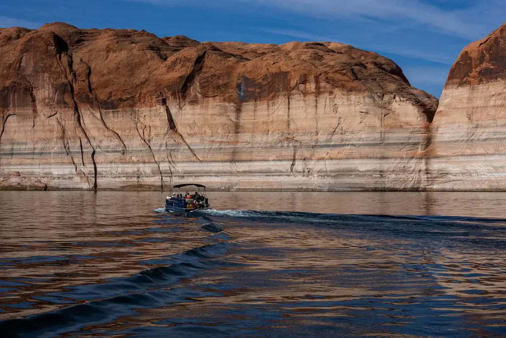
Lake Powell currently sits at 3,526 feet in elevation.
Moser said the center’s forecast doesn’t include water that the Bureau of Reclamation plans to release from Flaming Gorge this year to prevent Lake Powell from reaching minimum power pool — the level at which Glen Canyon Dam can no longer produce hydroelectric power or sustainably send water downstream to Arizona, California, Nevada and Mexico.
After a reluctant approval from Utah, Colorado, New Mexico and Wyoming on April 21, Reclamation finalized a Drought Response Operations Plan that includes releasing between 660,000 to 1 million acre-feet of water from Flaming Gorge to prop up Powell.
The center forecasts that Flaming Gorge will receive 380,000 acre-feet of water between April and July. That would be 39% of average water supply and the seventh lowest inflow on record.
It’s unclear whether or not the drought response releases from Flaming Gorge — and a 1.48 million acre-feet that the bureau plans to keep in Lake Powell that would normally be sent downstream — will be enough to prevent the reservoir from falling to minimum power pool at 3,490 feet of elevation. Reclamation said it will know more when it releases its 24-month study next week.
A dismal water year for Utah
It’s not just Powell that’s set to break records this year.
“We can be confident in saying there’s going to be a large number of basins in Utah that are going to have exceptionally low — and I mean exceptionally low — surface water supplies,” said Jordan Clayton, supervisor of the Natural Resources Conservation Service’s Utah Snow Survey.
The NRCS forecasts that the surface water supply in most watersheds across the state, including many that feed the Colorado River, will be in the bottom 5th percentile. Some places, including the Eastern Uintas and the Lower Sevier watersheds, are forecasted to be as low as the 2nd percentile.
The agency also forecasts that 42 streamflow locations across the state, from the Colorado River near Cisco to the Virgin River near Hurricane, will set new record lows.
Most of the state has already experienced peak runoff, and it was just “a blip” in much of the rivers’ flow, Clayton said.
“There’s a lot that’s piling up in terms of bad news for water supply here in Utah,” Clayton said.
This article is published through the Colorado River Collaborative, a solutions journalism initiative supported by the Janet Quinney Lawson Institute for Land, Water, and Air at Utah State University. See all of our stories about how Utahns are impacted by the Colorado River at greatsaltlakenews.org/coloradoriver.